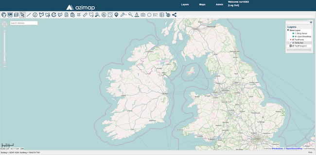
At the bottom left of the map screen, on the same bar as the Easting and Northing coordinates, you'll find the Print button. This can be used to create a PDF of your map.

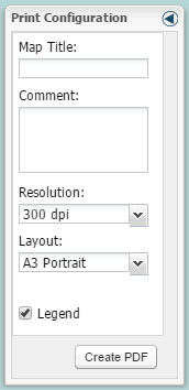
Click the Print button to bring up the Print Configuration panel.

Map Title - Enter a title for your map and it will appear at the top of the PDF. This is optional.
Comment - Enter any other comments you want and they'll appear at the bottom of the PDF. This is also optional.
Resolution - Select what resolution you want your PDF to be.
Layout - The orientation and page size of your PDF. The choices are A3 and A4 Portrait and Landscape.
Legend - A legend containing similar information to the Layers Panel will be include on the PDF if this box is checked.
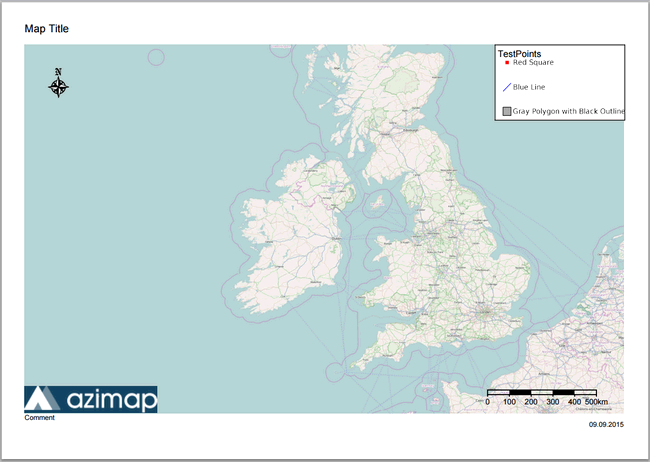
Your PDF will look something like this.

Note: The PDF picture will be of the centre of your map screen so line the map up appropriately to get all the desired features in frame.