Select  on the Map Toolbar to edit the current layer. Alternatively you can click
  next to any layer on the Layer Portal to edit that layer's details.
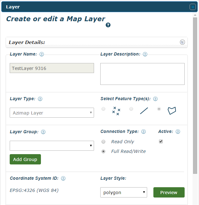
Layer Name - The name given to the layer when it was created. This is now locked.
Layer Description - You can edit the layer's description.
Layer Type - The layer type would have been selected during its creation and is now locked.
Select Feature Type - Whether the layer is a point, line or polygon layer. This is now locked.
Layer Group - Choose a group for the layer or add a new one. Layers that share a group will be grouped together on the map screen for easy access. This is optional.
Connection Type - Select whether users can add or delete attributes from this datastore's database table. Only the creator of a layer can modify its Connection Type.
Active - Select whether or not you want the layer to be active. Your layer can't be added to any more maps if this isn't checked.
Coordinate System ID - The coordinate system to project the layer onto. This would have been selected when the layer was created and is now locked.
Layer Style - Select a layer style from the drop-down menu. This will change the actual appearance of the layer on a map. For details on customisation see Style Features.
You can also edit the Database Table from here. For more details on this see Database Table.
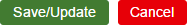
Save/Update - This will save any changes made to the layer.
Cancel - You can select this at any time to exit without saving the layer.